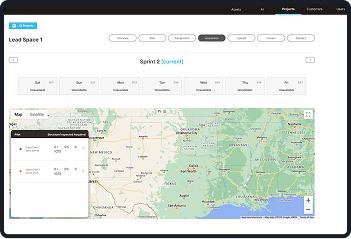
Automating image tagging for faster, more accurate analysis and sorting
We developed an algorithm that pinpointed drone image locations and angles, eliminating manual review and seamlessly delivering engineer-ready reports.
Question: If your service offering involves manually sorting and categorizing images that need to be accessed quickly, how can annotation be improved?
Answer: Analyze metadata attached to images to do the annotation and develop algorithms to self-correct labelling
Valmont offers drone image capture of steel poles so that the integrity of the pole can be monitored. Drones capture multiple images of multiple poles per flight, and so assigning images to the proper pole was a time-consuming process that was subject to error. By looking at exact coordinates of where the drone was when the image was taken, and analyzing the direction the camera was pointing, The Main Branch created a new algorithm that removed the need for manual review of the images and delivered them directly to engineers via a suite of customizable reports. This was so effective, that solutions followed for creating custom drone software, automated flight solutions and even custom hardware attached to the drones to allow for automatic washing of corrosion and acidic debris from the poles.
